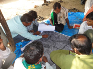
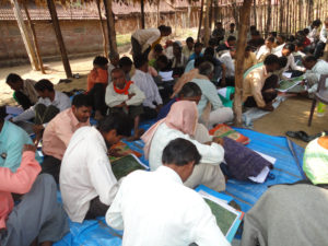
We overlaid village and forest boundaries on the satellite (Google Earth) imagery and then gave large print-outs of maps to the FRCs of our organizational villages. This was the first time they were looking at a print-out of a satellite image and, in fact, had earlier not even heard about satellites and how they can take pictures. Hence, we were not sure whether they would be able to properly interpret these images or not. But their enthusiasm surpassed all our apprehensions. Everybody gathered around these maps discussing what was what and soon got their bearings and started identifying different fields. They also corrected the errors in marking the boundaries of villages. Then they marked all fields claimed by the tribal claimants of their villages on these maps, by putting their unique Plot Numbers of the fields at appropriate locations. After thus marking these Plots, the FRCs examined each plot and arrived at a finding on whether it is seen as cultivated plot in 2005 Satellite Imagery or not and together with other evidences also took this finding into account while arriving at its recommendation on whether the claim should be approved or not. During March to June 2009, they submitted the files to the Sub-Divisional Level Committee (SDLC) for further action.


